- (+234) 8029990921 / 8068883444
- info@basaltservices.com
- Follow Us On :
Geophysical Investigations
The use of geophysical surveys to determine various items such as depth to water, aquifers and area of good yield and depth to buried outcrops and minerals is of importance. Other uses may involve determination of soil profile, depth to a difficult layer or the knowledge of core stone positions, cavities or sink holes.
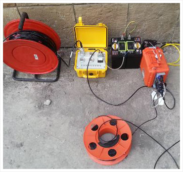
Various methods may be used for the geophysical investigation and one of such is the electromagnetic and electrical resistivity method, in which both the horizontal profiling and the vertical electrical sounding around the area is carried out employing electromagnetic instrument, ABEM WADI, ABEM SAS 300 C and Electrical resistivity meter (CAPMUS OMEGA).

The electrical resistivity method involves the introduction of artificially generated electric current into the ground via two electrodes (C1 & C2) and the measurement of the potential difference by another pair of electrodes (P1 & P2). The resistance value (R) obtained is converted to apparent resistivity value (ρa).
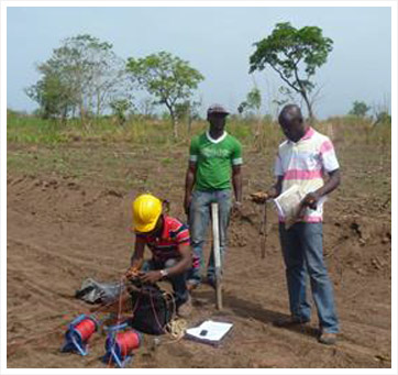
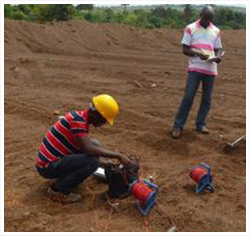
The data is acquired by using Pasi Earth Resistivity Meter. The vertical electrical sounding (VES) technique involving the Schlumberger electrode array is also used.
All electrical resistivity formulae are based on Ohm’s law.
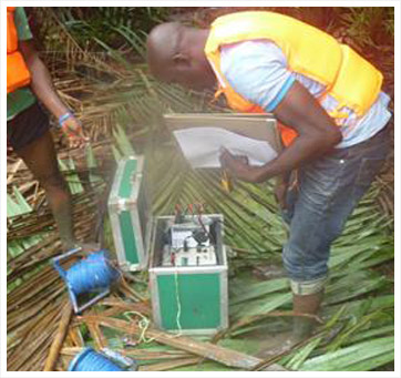
The tests can be carried out in cities as well as the most remote areas, over waters, rocky and hilly areas, deep forests and generally difficult areas.


